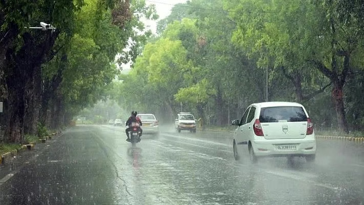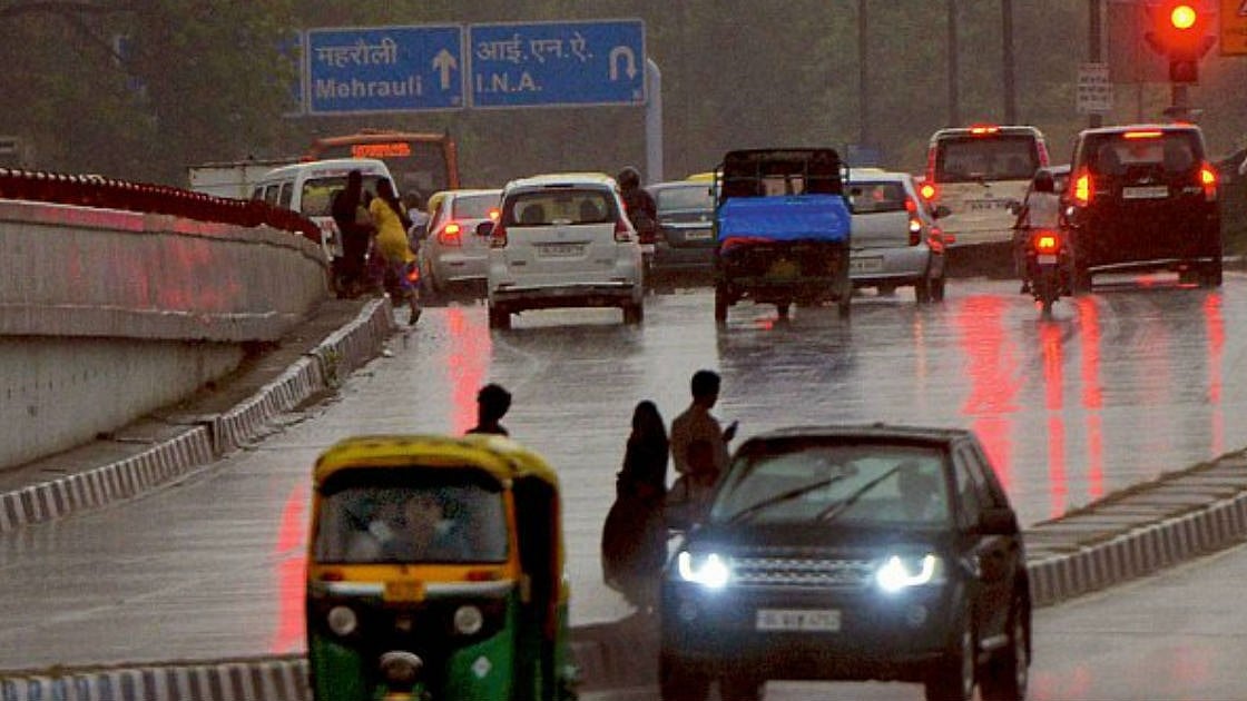
Delhi: Several parts of Delhi received heavy rainfall this morning, lowering temperatures and providing relief from humid heat. The India Meteorological Department (IMD) has forecast thunderstorms and lightning in the city over the next two days. Visuals from Sangam Vihar, Mehrauli-Badarpur road, showed waterlogging as commuters drove through the water towards their destinations.
All India Radio News has shared the Delhi rainfall video on X and wrote, "Rainfall hit parts of Delhi NCR earlier this morning. #IMD predicts that rainfall with thunderstorms, gusty winds, and lightning is likely to prevail over Northwest, West, Northeast, East, Central, and Southern Peninsular India over the next 7 days."
Rainfall is predicted in these regions
The rainfall is likely to be accompanied by lightning and thunderstorms. Moderate to heavy rainfall is likely to occur in Seelampur, Shahadra, Vivek Vihar, Preet Vihar, Budha Jayanti Park, Jafarpur, Nazafgarh, Dwarka, Delhi Cantt, India Gate, Akshardham, Palam, Safdarjung, Lodi Road, Nehru Stadium, IGI Airport, Vasant Vihar, R K Puram, Defence Colony, Lajpat Nagar, Vasant Kunj, Hauzkhas.


The India Meteorological Department (IMD) has issued an orange alert in the city for Monday, July 7. The rainfall is likely to occur in Fatehabad, Adampur, Hissar, Siwani (Haryana), Nazibabad, Muzaffarnagar, Bijnaur, Khatauli, Sakoti Tanda, Hastinapur, and Chandpur.

About the Southwest monsoon
The Southwest Monsoon is a seasonal wind shift that brings heavy rainfall to South Asia, particularly India, from June to September. It is the monsoon period in India. The monsoon is characterised by a reversed wind pattern. During this time, winds usually blow from land to sea and from sea to land, bringing moisture and rainfall.