Mumbai’s monsoon mayhem has arrived, water-logged roads, erratic traffic and unrelenting downpours are now a daily reality. As Mumbaikars scramble for cover and safe passage, reliable digital aids offer relief. Whether you want real-time weather maps, traffic-aware forecasts, or train and bus schedules to outsmart the deluge, these essential apps can help you navigate through Mumbai’s monsoon chaos with greater ease and confidence. Staying prepared during rainy weather and potential floods is crucial. Here are some of the best apps that can help you with this:
1. Indian Govt-backed apps for the Mumbai rains
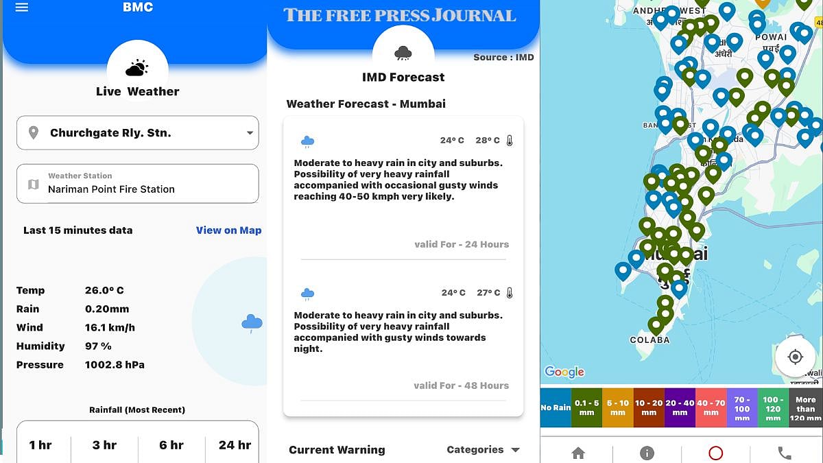
Disaster Management BMC (Mumbai specific): Provides location-specific flood warnings 6 to 72 hours in advance and probable floodwater height.
FloodWatch India: Developed by the Central Water Commission, provides real-time flood monitoring, 7-day flood forecasts, and location-based risk assessments.


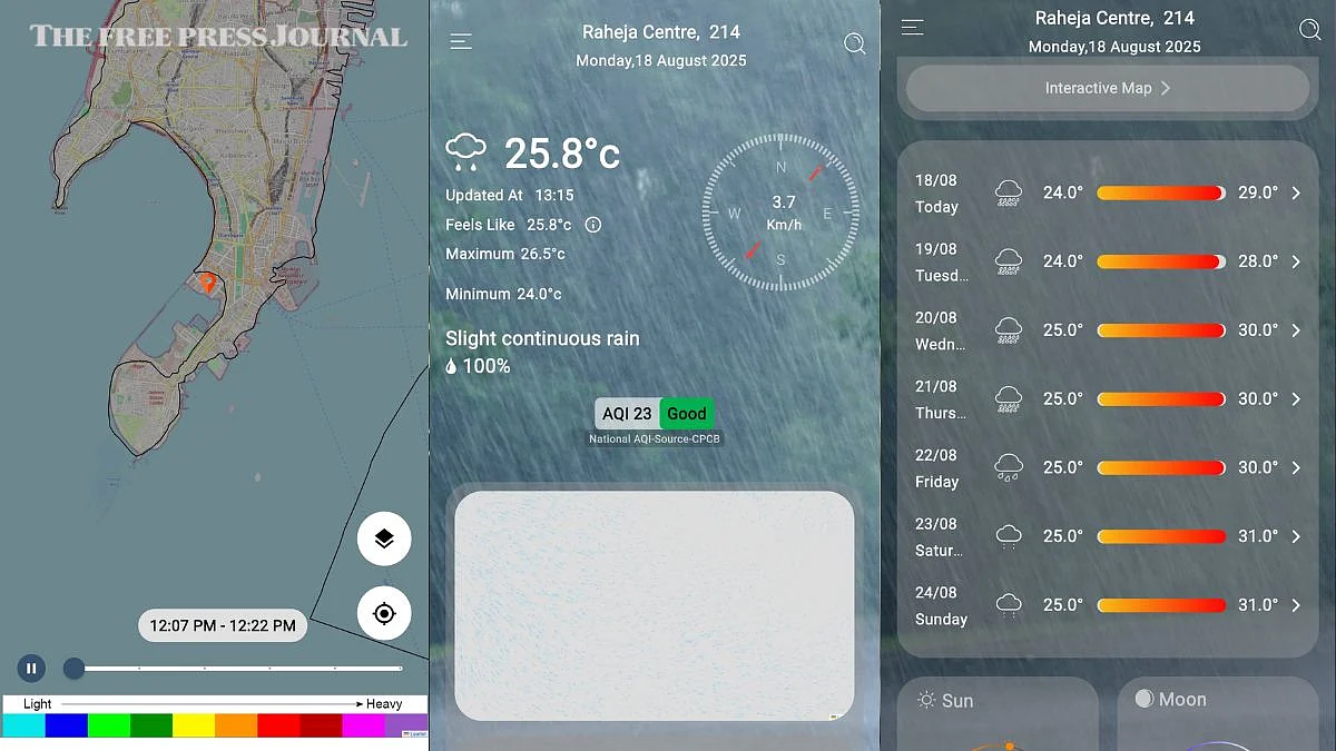
Mumbai Weather Live app (Mumbai and Navi Mumbai specific): Collates data from various agencies for location-specific rainfall updates.
Mausam App (by IMD): The official weather app by the Indian government (IMD), providing accurate alerts about rain, heatwaves, thunderstorms, and cyclones.
Mausam App | FPJ
Damini Lightning Alert App (by IMD): Warns you about lightning strikes nearby.
Meghdoot (for farmers): Offers weather information and advice for crops.
2. Weather apps with rain tracking and alerts
These apps provide real-time weather updates, radar imagery, and precipitation forecasts, allowing you to track rain and prepare accordingly:
AccuWeather: Known for its detailed forecasts and 'MinuteCast' feature, offering minute-by-minute precipitation forecasts. It also provides severe weather alerts.
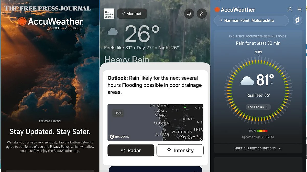
AccuWeather | FPJ
The Weather Channel: Offers comprehensive coverage with hourly and daily forecasts, live radar maps, and severe weather alerts.
Rain Viewer: Provides real-time rain alerts and radar images with minute-by-minute accuracy, using live weather radar data.
Rain Now: Offers real-time rain alerts and accurate rain forecasts up to 60 minutes in advance.
Weather Underground: Sources data from a network of personal weather stations for hyperlocal forecasts, including air quality, UV index, and flu outbreaks.
Windy.com: Advanced app showing animated maps of rain, heat, and wind, useful during the monsoon season or near coastal areas.
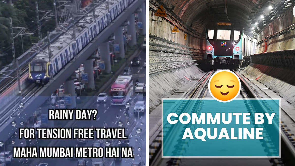
3. Commuting apps
M-Indicator - This app is a life saver for all office-goers. This app offers real-time updates on how late trains are running, when is the next train, if any trains are cancelled, and much more.
Chalo- Launched by the BEST, this app offers real-time tracking of BEST buses and helps you find the best navigation route for your destination.
3. Communication and safety apps
Red Cross Emergency App: Provides location-specific alerts and allows you to notify loved ones you are safe.
Zello: Acts like a walkie-talkie and can be used offline for communication during emergencies.
Life360: Helps track locations and share location with family and friends.
SirenGPS: Helps first responders locate and identify you during emergencies, with a panic button feature.
Precip - Rain Gauge: Automatically tracks rainfall totals with high precision using radar.
Remember to choose apps that are reputable and provide reliable information. It's also wise to have a backup communication plan in case cell service or internet access is disrupted during a heavy rain event or flood. Ensure that you carry a power bank with you, incase you are stuck somewhere and are unable to charge your phone.
The best recommendation is to stay indoors when its heavily raining.